
Chapel Hill Neighbors by Block
Each source establishes a different fact about the lots nearest an address. Orange GIS can show parcel boundaries and adjoining parcels. The real-property record can identify a recorded owner, but not necessarily an occupant. Voter data concerns registration and election geography, while an association page may offer a public contact route without identifying member households. For past block context, use a dated directory or map and label it as historical.
| Source | What It Shows About a Block | Access |
|---|---|---|
| Orange GIS | Parcel geometry, adjoining parcels, physical addresses, and selected parcel fields | Public map tools |
| Real-property record | Current owner string, mailing information, PIN, and recorded context | Public county portal |
| Voter registration | Public registration and district context, subject to statutory limits | Official search or file |
| Neighborhood association | Public association purpose, contact, board, or meeting context when posted | Association page |
| Historic source | A dated address, household clue, map, or directory listing | Library or archive |
Property evidence should be described as an ownership lead. Parcels can be vacant, held by a trust or institution, have several physical addresses, or list an out-of-area mailing address. A block boundary also differs from a town boundary, ZIP label, voting district, or informal neighborhood name.
Orange GIS Adjoiners for Neighbors
Orange County’s GIS viewer is the local starting point for parcel relationships. It can search by owner name, parcel ID, NCPIN, physical address, or account number, and it offers parcel detail, map layers, a tax-card route, and print or export controls. A ten-digit PIN identifies a parcel. A condominium record adds a three-digit sub-PIN, so leading zeros and the complete identifier matter.
After selecting a parcel, the viewer’s Adjoiners tool selects parcels that touch it. Select-by-location can choose parcels by their relation to a map feature, while a buffer can select parcels within a chosen distance. These tools map a physical relationship, not a social relationship. The help materials set a limit of 2,500 selected results at one time, which is another reason to keep the question to one block or a modest radius.
Address search first works through the county’s address data and then finds parcels that contain the address. A result may display more than one physical address. Use the detail link and PIN instead of assuming a map label proves who occupies a location.
Note: Keep the PIN, selected tool, buffer distance if used, map date, and parcel limit with a block search note.
Map Chapel Hill Neighbor Parcels
A short parcel process avoids turning a street into a people list. It follows the physical record outward from one known address, then stops once the stated boundary is answered. County data can connect the map to a current owner string and prior-record context, but it cannot establish the daily presence of an owner or another person at the parcel.
- Locate the supplied address in Orange GIS and open the selected parcel’s detail record.
- Record the PIN and check the parcel’s physical-address field, map geometry, and ownership wording.
- Choose Adjoiners for touching lots, or use select-by-location or a small buffer when a defined radius is necessary.
- Open only the returned parcel records needed to distinguish owner, mailing, and recorded-date fields.
- Stop at the parcel boundary, then use a dated library source if the question is historical rather than current.
The broader chain for every address on a named street belongs with the Chapel Hill street directory. A block search is narrower: it asks which parcels meet at or around one address, then preserves the limits of each record.
Chapel Hill's Ten Conservation Districts
The Town identifies ten Neighborhood Conservation Districts and gives Northside and Pine Knolls additional design-guideline context. That planning designation is not the same as a postal neighborhood name, a private association, or proof that a household belongs to a group. Use the Town’s neighborhood label only for its stated planning or historical context, and use a parcel or address source for the actual mapped location.
The Town planning neighborhood context is the source for this Chapel Hill planning image.
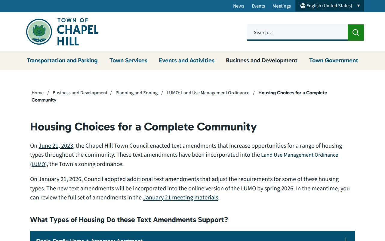
The Town material names areas such as Greenwood, Franklin-Rosemary, Glendale, Hidden Hills, Laurel Hills, Colony Woods, Pope Road, Westwood, and Lake Ellen. Those names help place a record in civic context, but they do not create a public membership or resident roster.
Chapel Hill Neighbor Associations
Public association pages are useful for finding the appropriate organization, not for identifying households. They may describe a board, listserv, dues, a purpose, an eligible area, or a mailing route. No current town-wide official association directory was located, so coverage is incomplete. Do not infer membership from an address, and do not reproduce a private directory.
Kings Mill-Morgan Creek
Southern Chapel Hill association with a public board and listserv description. The public page lists $20 annual dues and does not publish a member directory.
Coker Hills
Public association information covers purpose, an eligible map, dues, board context, and a PO Box. It is a contact resource, not a list of residents.
Oaks III
The association states that its name-and-address directory is secure and member-only. That boundary should be respected.
The Kings Mill-Morgan Creek Neighborhood Association page is the source for this Chapel Hill association image.
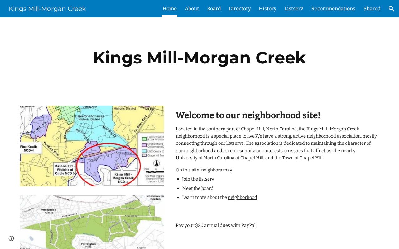
The public association description can point a visitor toward a board or listserv without assigning an address to the group or disclosing a private roster.
The Coker Hills Neighborhood Association page is the source for this Chapel Hill association image.
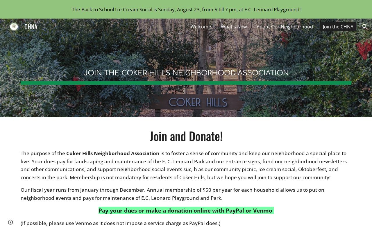
Coker Hills provides public association context and an eligible-area reference. Its records should not be converted into a current resident list.
The Oaks III association page is the source for this Chapel Hill association image.
The secure directory notice is a clear privacy boundary. Contact the association through its public route instead of seeking the member-only material.
Northside Chapel Hill Community Context
Northside’s record is a useful local story because it shows how community documentation can be public without becoming a household file. The Northside Neighborhood Initiative began in March 2015 as a collaboration among the Town, residents, Jackson Center, Self-Help, UNC, and Carrboro. It offers civic and neighborhood-history context, while parcel and ownership questions remain with the county record systems.
The Town Northside Neighborhood Initiative page is the source for this Chapel Hill initiative image.
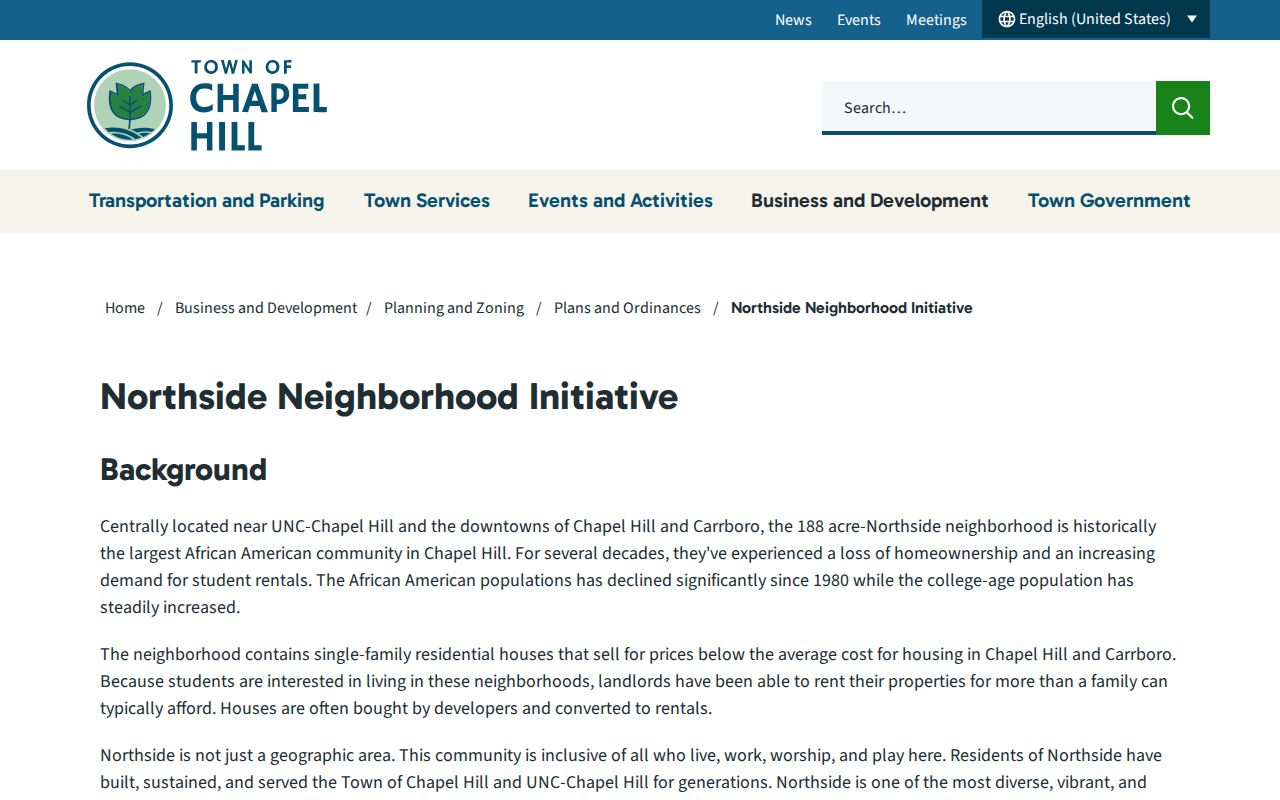
Town planning material identifies the initiative and its neighborhood-conservation connection. It should be read as public community context, not as evidence that a named person currently lives in Northside.
The Northside Neighborhood Initiative history is the source for this Chapel Hill initiative image.
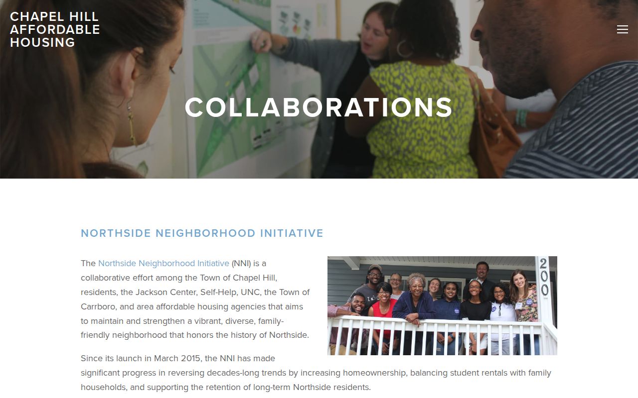
Historical community material can help explain a dated address, neighborhood conservation boundary, or local organization connection. It cannot verify a current household at an address.
Chapel Hill Neighbor Tool Comparison
Official sources state what they hold and when they were updated. Commercial neighbor tools may merge public and copied data from different dates, often without a clear custodian, query history, or correction route. Neither category turns a parcel owner into a confirmed occupant. For a question about the physical block, the official parcel map is usually the more limited and more useful starting point.
| Official sources | Commercial neighbor tools |
|---|---|
| Identify the custodian, source date, record type, and access limits. | May combine copied records with uneven dates and unclear source paths. |
| Can distinguish parcel ownership, voter registration, or a public association contact. | May blur owner, occupant, mailing, and historic information into one result. |
| Offer a specific correction or request route at the agency or organization. | May not provide a reliable record-level correction path or current coverage date. |
County custody, state custody, and registry systems are separate safety datasets with different populations and update limits. They are not tools for identifying adjacent residents or building a block profile. When there is a safety concern, use the responsible official service rather than assembling names or addresses from unrelated systems.
Chapel Hill Neighbor Voter Limits
North Carolina voter records can provide registration and election geography, but they should not be used as a door-to-door block roster. The state search requires first and last name plus a Registered or Removed/Denied status selection; county, middle initial, and year of birth are optional. G.S. 163-82.10 provides for public voter lists and defined electronic fields, while G.S. 163-82.13 addresses a statewide computerized file. Both operate alongside confidentiality protections.
The State voter-registration data page documents weekly current-file updates and historical snapshots. It also identifies exclusions such as full birth date, Social Security number, driver-license number, and photo-ID data. Voter history is separate, joins through NCID, and does not show candidate choice. Do not infer a person’s beliefs, home ownership, or household membership from registration fields.
Note: A protective address, updated registration, or missing result is a privacy or timing issue, not proof about a household.
Privacy for Chapel Hill Neighbors
Public access has boundaries. North Carolina’s Address Confidentiality Program gives qualifying participants a substitute address and mail-forwarding protection. Property-tax, Register of Deeds, and voter systems may need an actual address internally while protecting it as required. Never use a parcel, voter, permit, or court result to reverse-engineer a protected address.
Renters and household members are not established by an owner field. Utility and delivery records are not a public block directory. Association directories may be private by design. A missing result can reflect redaction, a protected party, a different jurisdiction, a stale record, or a source that does not hold the requested fact. Keep only the least identifying information needed for a lawful question.
Lawful use. Use Chapel Hill neighbor records for personal, lawful research, civic context, family history, or finding an association contact. Never use them to watch, stalk, harass, intimidate, or harm another person.